
Introduction
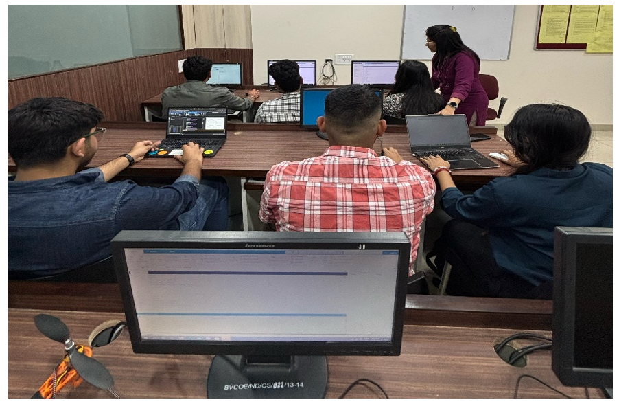
The Remote Sensing Image Analysis and Classification Laboratory at Electronics and Communication Engineering Department of Bharati Vidyapeeth’s College of engineering, New Delhi campus provides students with hands-on experience in processing and interpreting satellite and aerial imagery using MATLAB. This laboratory focuses on essential techniques for image enhancement, feature extraction, and classification, enabling students to analyze geospatial data for environmental monitoring, land use mapping, and resource management.
 Objectives of the Laboratory
- To impart the basic knowledge about remote sensing
- To impart knowledge about satellites and sensors
- To impart knowledge about image analysis and image classification
- To impart knowledge about image segmentation and shape analysis
Courses to Cater
- Remote Sensing Image Analysis and Classification – IPCV-457 P
Facilities
- Software MATLAB version 2022
- 15 PCs
- 1 Printer
Staff
- Faculty Coordinator: Dr. Rubeena Vohra
- Lab Assistant: Mr. Aniket